What Happened in the August 2026 Nepal-Tibet Floods?
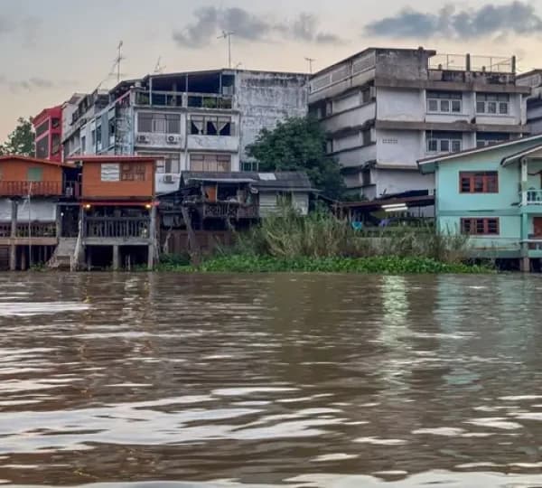
On the morning of 26 August 2026, a massive flash flood tore through the Trishuli and Bhote Koshi river corridors in northern Nepal. It struck without warning, destroying the Gyirong border crossing between Nepal and Tibet and slamming into dozens of villages along a 72-kilometre stretch of the valley, according to Wikipedia's detailed record of the disaster.
Over 1,300 people lost their lives in Nepal, with thousands more reported missing in the weeks that followed. Entire settlements in Rasuwa district were buried under mud, rock and debris within minutes.
For the latest verified death toll, missing persons figures and relief updates, Nepal's National Disaster Risk Reduction and Management Authority publishes official numbers directly.
What Actually Caused the Flood in Rasuwa?
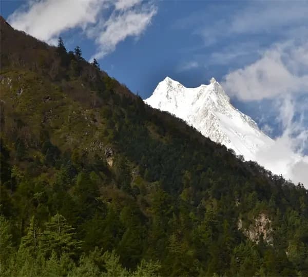
Early reports blamed an earthquake or a glacial lake bursting its banks. The real cause turned out to be something rarer and far more violent: a glacier collapse near Langtang Lirung mountain.
Here is what scientists now believe happened, step by step:
- A chunk of glacier, roughly 0.2 square kilometres of ice and rock, broke away at around 5,200 metres.
- It fell close to 1.2 kilometres straight down into the valley below.
- The impact pulverised the ice and melted it almost instantly from pure friction.
- That meltwater mixed with loose rock and soil into a fast-moving wall of debris.
- Within minutes, it raced down the Bhote Koshi and Trishuli rivers at close to 50 metres per second.
The tremor felt that morning came from the collapse itself, not from an earthquake, according to seismic data. Warming temperatures and weakening permafrost in the high Himalaya are widely seen as contributing factors.
Which Districts and Trekking Routes Were Affected?
The damage was in northern Nepal, not spread across the country. Knowing exactly which districts were hit is the fastest way to answer your own question about whether Nepal is safe for trekking.
Districts directly affected:
- Rasuwa (the hardest hit, including Timure, Syabrubesi and Dhunche)
- Nuwakot
- Dhading
- Gorkha, with downstream effects reaching parts of Chitwan
Major trekking and tourist regions that were not touched:
- Everest and the Khumbu region
- Annapurna, Mustang and Mardi Himal Base Camp
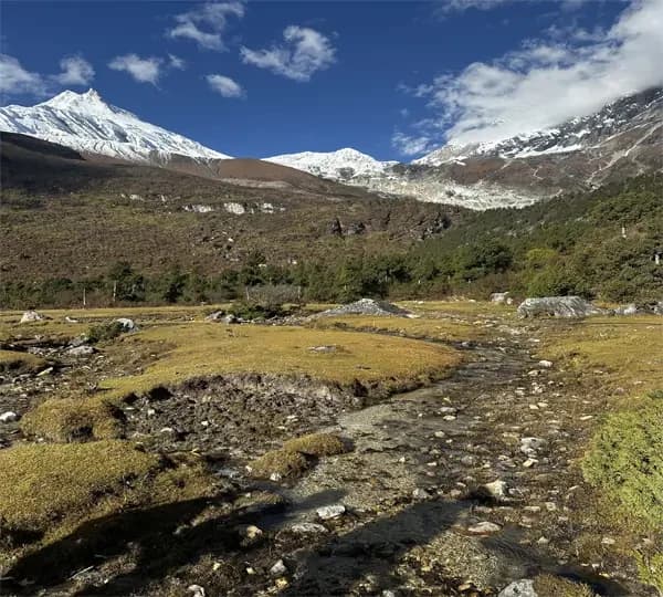
- Manaslu and Tsum Valley
- Kanchenjunga and Makalu
- Dolpo and the far west, including Rara Lake
- Kathmandu Valley, Pokhara, Chitwan's jungle safari areas and Lumbini
If your itinerary sits anywhere outside that first list, your trek was never in the disaster zone to begin with.
Don't Believe Every Flood Video You See Online
A lot of the dramatic flood footage circulating online after 26 August was not even real footage of this event.
Nepal's Press Council opened a dedicated portal to flag flood misinformation and ordered dozens of pieces of false or AI-generated content taken down. Some clips were traced back to entirely different floods in other countries.
Before you cancel a trek or share a scary video with your family, take thirty seconds to check it against an official Nepali source or a major international outlet. Panic spreads faster than facts during any disaster.
Nepal Road Conditions After the Flood: What's Open Today
Roads are where the real risk sits, because a road can look fine while the ground underneath has been quietly washed out.
Here is the honest, current picture:
| Route or Crossing |
Current Status
|
|
Dhunche to Syabrubesi road
|
Badly damaged, bridges swept away, and repair ongoing
|
|
Bogatitar–Kalikasthan–Dhunche
|
Reopened to light 4WD vehicles
|
|
Miteri Friendship Bridge (border)
|
Destroyed, not yet rebuilt
|
|
Ruby Valley route near Dhadingbesi
|
Key bridge collapsed
|
|
Sundarijal to Melamchi Bazar (Helambu access)
|
Ground transport disrupted
|
| Prithvi Highway (Kathmandu–Pokhara) |
Open, with occasional monsoon delays
|
For live updates, we recommend bookmarking the Department of Hydrology and Meteorology's official flood monitoring page, which tracks river levels along the affected corridor in real time.
Is the Kailash Mansarovar Route Still Closed?
Yes, and this is worth knowing if you have a Tibet pilgrimage planned alongside your Nepal trip. The Gyirong crossing, which handled most overland traffic between Nepal and the Kailash region, was destroyed in the flood.
The Korala crossing in Mustang is currently the only open alternative on the Nepal side. If Kailash Tour is part of your plans, our Tibet tour team can walk you through what routing actually looks like right now. Talk to the Tibet Expert Team
The Alternate Overland Route to Manaslu
Manaslu was never touched by the flood, but a handful of travellers have still asked about backup access just in case.
There is a separate overland approach that avoids the affected corridor entirely: Kathmandu to Benighat, then Arughat, then on to Machha Khola, which is the usual starting point for the Manaslu Circuit trek.
This route is in a completely different river system from the Trishuli and Bhote Koshi valleys, so it has not needed any rerouting. It is worth knowing simply so you can travel with confidence rather than wondering if your driver is taking a detour around damage that was never there.
Emergency Contacts and Important Numbers for Trekkers
Whichever region you are heading to, it is worth saving a few numbers before you fly into Kathmandu. Nepal's monsoon season always carries some risk, and this year is no exception.
| Service |
Contact
|
| Nepal Police |
100 |
| Tourist Police |
1144 |
|
DHM Flood and Weather Hotline
|
1155
|
|
Himalayan Rescue Association
|
Available through your trekking agency or the HRA Kathmandu office
|
|
Nepal Tourism Board
|
ntb.gov.np
|
Is Nepal Safe for Trekking Right Now? Region by Region
Here’s brief information on whether your trekking region is safe or not:
| Trekking Region |
Safe to Trek?
|
Notes
|
| Everest Base Camp |
Yes |
Fully unaffected, and Lukla flights are operating normally
|
|
Annapurna Circuit and Base Camp
|
Yes |
Fully unaffected
|
|
Manaslu Circuit
|
Yes |
Untouched by the flood |
| Kanchenjunga and Makalu |
Yes |
Outside the disaster zone
|
|
Langtang Valley
|
Yes, with a workaround
|
Standard access road damaged, alternate route available
|
|
Gosaikunda
|
Partially |
Rasuwa-side access affected; check current status first
|
| Tamang Heritage Trail |
Partially |
Syabrubesi gateway damaged; section-by-section check needed
|
| Helambu Circuit |
Yes |
Ground transport to trailheads safe |
If you are booked on an Everest Base Camp trek or an Annapurna Base Camp trek, there is genuinely nothing about this flood that should keep you home.
The same goes for anyone planning a Manaslu Circuit trek or a longer expedition into Kanchenjunga. Browse our full Everest region treks or Annapurna region treks if you want to compare a few options before you book.
History Repeats Itself: How Langtang Rebuilt After the 2015 Earthquake
If this feels familiar, that is because Langtang has been here before. In 2015, a massive earthquake triggered a landslide and avalanche that buried the village almost completely, killing over 350 people in seconds. For a while, many assumed the valley was finished as a trekking destination.
But Langtang did not stay closed. Villagers rebuilt higher up the valley, teahouses reopened one by one, and trekkers slowly returned, understanding their visits kept the local economy alive. Within a few years, Langtang was back on every serious trekker's list, scars and all.
That same spirit is what you are seeing now, just a decade later and a different disaster. The people of Rasuwa have rebuilt from ruins before, and they are doing it again, which is a big part of why we can honestly say trekking in Nepal is safe to trust again.
You can read more about how Nepal's mountain communities have weathered these events over the decades on our history of Nepal page, and when you are ready, our Langtang region treks page has the full range of current itineraries.
How Guides, Drivers and Operators Are Responding on the Ground?
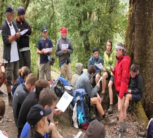
Every reputable operator in Nepal has adjusted how it works since the flood, and it helps to know what that actually looks like.
This is standard practice across the industry, not just something we do:
- Drivers on routes anywhere near the affected corridor check road status the same morning, not the day before.
- Guides carry updated maps that reflect closed sections and current alternate routes.
- Operators distinguish clearly between normal monsoon rain, which Nepal sees every year, and genuine extreme weather warnings issued by the DHM.
- Lodge owners along affected routes communicate directly with trekking agencies about which teahouses are open and stocked.
How Global Adventure Trekking (GAT) Keeps You Safe During Recovery?
Global Adventure Trekking (GAT) has led treks through the Himalaya since 1998, through earthquakes, political unrest, and now this flood. Our approach has not changed as we check the ground reality before we send anyone anywhere.
Here is what that looks like on our end:
- Our guides check road, bridge, and trail status on the morning of departure, not the week before.
- We are registered members of TAAN, NMA, HRA, and KEEP, associations that hold us to real safety standards.
- If a route touches the affected corridor, we offer an alternate path, a short delay, or full confirmation that it is safe to proceed. We never send a client through damaged infrastructure to save time.
You can read more about who we are on our About Us page, or see why travellers keep choosing us on our Why Travel With Us page.
Nepal's New Trekking Rule You Need to Know in 2026
Separate from the flood, there is a rule change every returning trekker should know about. As of 2026, the TIMS card system has been retired, and Nepal now requires a licensed guide on almost every popular route, including ones that used to allow independent trekking, such as Everest Base Camp and Poon Hill.
Solo trekking without a guide is no longer permitted on the vast majority of trails. If you trekked Nepal independently a few years ago and are planning a return trip, this is genuinely new, and it applies whether or not your route touches the flood zone.
Does Travel Insurance Cover Trekking During Nepal's Flood Recovery?
This depends entirely on your specific policy, so treat this as a starting point rather than a final answer.
Most standard travel insurance covers trip disruption caused by a natural disaster, but the details around rerouting, delays, and altitude limits vary widely between providers.
Before you fly, contact your insurer directly and ask three specific questions:
- Does my policy cover itinerary changes caused by government-confirmed road closures?
- Am I covered if my agency reroutes me around an affected region, such as the Gosaikunda alternative into Langtang?
- Does my policy require a licensed guide, given Nepal's 2026 rule change?
Getting clear answers before departure saves a lot of stress if your specific route needs adjusting once you land.
What to Pack for Trekking in Nepal's Unpredictable Weather?
Whatever region you trek in this season, pack like the weather could turn on you without warning. A few extra items make a real difference on the trail.
- A waterproof jacket, trousers and a rain cover for your pack
- Dry bags for your phone, passport and documents
- A headlamp with spare batteries and a power bank
- Water purification tablets or a filter bottle
- A basic first aid kit and personal medication
- Sturdy, broken - in trekking shoes and warm layers
- Printed copies of your passport, visa, and travel insurance
Trekking Responsibly While Nepal Recovers
Your trip matters more right now than it usually does, and here is why.
Every trekker who chooses Everest, Annapurna, or Manaslu this season keeps money flowing directly to porters, guides, and lodge owners who depend on this exact window of the year.
A few things worth keeping in mind as you travel:
- Avoid travelling to the actively affected districts purely out of curiosity. Rescue teams do not need extra visitors to manage.
- Never photograph grieving families or damaged homes without permission.
- To help the directly affected communities, donate through a legitimate relief organisation rather than showing up in person. The Nepal Tourism Board is a reliable place to check official advisories before you finalise anything.
- Keep trekking in the unaffected regions. Staying home does not help Rasuwa rebuild faster, but it does take income away from guides in Everest and Annapurna who had nothing to do with the flood.
Conclusion: Is Nepal Safe for Trekking in 2026?
Yes, for the vast majority of the country and the vast majority of routes. The disaster was real, the loss was real, and it hit a specific stretch of northern Nepal hard.
However, Everest, Annapurna, Manaslu, Kanchenjunga and dozens of other trails were never part of that story, and they are open and running exactly as they always have been.
If your trek touches Langtang, Gosaikunda or the Tamang Heritage Trail, you have options, not a closed door. Talk to a guide who actually knows the current ground conditions, and you can still walk into these mountains this season.
When you are ready to start planning, our team is one message away on our contact page, or you can customize your own trip around exactly what you want to see.
Frequently Asked Questions
Is Nepal safe for trekking right now?
Yes, for the vast majority of the country. The August flood was concentrated in a few northern districts, and it never touched Everest, Annapurna, Manaslu, or most other trekking regions. Check your specific route with a licensed guide before you travel, and you should be fine.
Is the Everest Base Camp trek affected by the flood?
No, the Everest region is far outside the disaster zone. Lukla flights, teahouses, and the trail itself are running exactly as they always have. The only thing worth checking before you fly is the weather, which is normal advice for any Everest trek.
Is Langtang Valley open for trekking?
Yes, though getting there now looks different than it used to. The old road through Syabrubesi was badly damaged, but guides are now using a high mountain route through Gosaikunda to reach the valley. The upper valley itself, including Kyanjin Gompa, was never touched by the flood.
Is the overland route to Mount Kailash still open?
No, the main crossing at Gyirong was destroyed by the flood and remains closed. The Korala crossing in Mustang is currently the only working alternative on the Nepal side. If Kailash is part of your plans, speak to a Tibet travel specialist before booking anything.
Do I need a licensed guide to trek in Nepal now?
Yes, this changed in 2026 and applies regardless of the flood. Nepal has retired the old TIMS card system and now requires licensed guides on almost every popular trekking route, including ones that used to allow independent trekking. Solo trekking without a guide is no longer permitted on most trails.
Did an earthquake cause the Nepal flood?
No, this is a common misconception from the early news coverage. Scientists confirmed the seismic signal that morning came from a glacier collapse near Langtang Lirung, not from a tectonic earthquake. The ice and rock fell nearly 1.2 kilometres and turned into a fast-moving debris flow on impact.
Where can I find official updates on the flood recovery?
The Department of Hydrology and Meteorology, the National Disaster Risk Reduction and Management Authority, and the Nepal Tourism Board all publish verified, current information. These are far more reliable than social media posts or older blog articles. Your trekking agency should also be checking these sources before every departure.