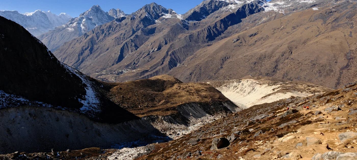
Geography of Nepal: Regions, Mountains, Rivers, and Climate Zones
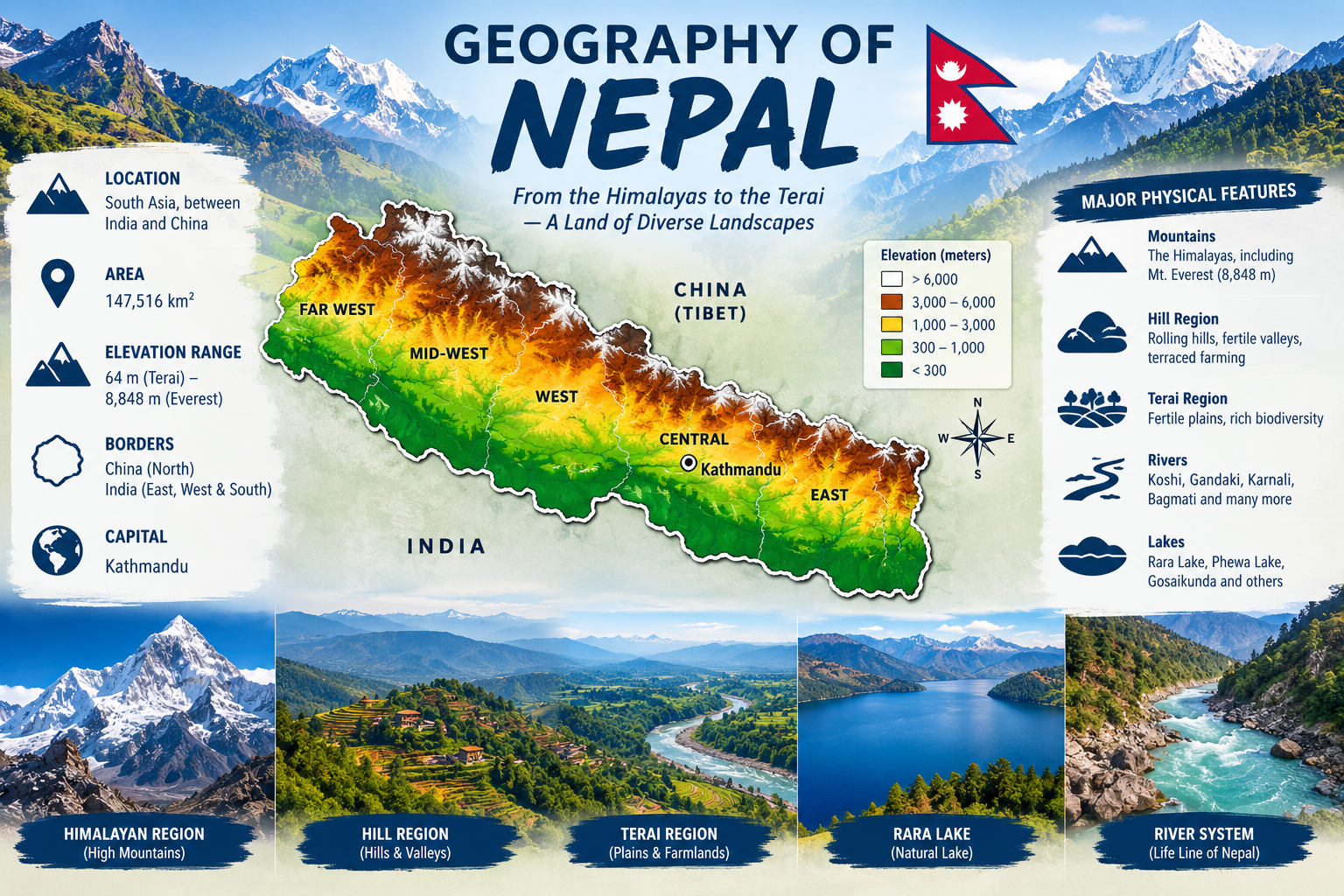
The geography of Nepal has more elevation change in one small country than almost anywhere else on Earth. Nepal covers just 147,516 square kilometers, yet it rises from 59 meters near the Indian border to 8,849 meters at the summit of Everest.
This dramatic range shapes everything about the country, from its climate to its culture to where people choose to live. Understanding the geography of Nepal is the best starting point for trekking in Nepal, since altitude decides the weather, terrain, and even which ethnic communities you'll meet along the trail.
Geography of Nepal at a Glance
| Fact |
Detail |
|
Length (east–west) |
About 880 km |
|
Width (north–south) |
150–250 km |
|
Border with China |
1,236 km |
|
Border with India |
1,690 km |
|
Highest point |
Mount Everest, 8,849 m |
|
Lowest point |
Mukhiyapatti Musharniya, 59 m |
| Number of 8,000m peaks |
Number of 8,000m peaks |
|
Longest river |
Karnali |
| Largest lake |
Rara Lake |
|
Forest cover |
About 39% of total land |
Where is Nepal Located?
The geography of Nepal places it squarely in South Asia, landlocked between two giants. China's Tibet Autonomous Region borders it to the north, while India wraps around the east, south, and west.
- Nepal is between roughly 26°N and 30°N latitude, in the same general band as the U.S. state of Florida.
- A narrow strip of India's West Bengal, called the Siliguri Corridor, separates Nepal from Bangladesh.
- Despite sharing Florida's latitude, Nepal's elevation makes its climate almost unrecognizable by comparison.
- The country stretches like a rectangle tilted northwest to southeast, squeezed between two of the world's most populous nations.
Explore Our Treks Across Nepal
How Big is Nepal?
Questions about the size of Nepal come up constantly, so here are the exact figures:
|
Measurement |
Value |
|
Total area |
147,516 sq. km (56,956 sq. m.) |
|
Land area |
7.06% |
| World rank by area |
93rd largest country |
|
Comparable size |
Slightly larger than the U.S. state of Arkansas |
Despite covering less than 0.1% of Earth's land surface, the geography of Nepal contains some of the most extreme terrain on the planet.
That combination of small size and massive elevation range is exactly what makes trekking in Nepal such a compelling place.
The Three Geographical Regions of Nepal
The geography of Nepal divides into three parallel regions running east to west, and each one feels like a different country.
1: Terai Region (Lowlands)
- Elevation ranges from 60 to 300 meters above sea level.
- The Terai covers about 17% of Nepal's total land area but holds close to half its population.
- Known as the "granary of Nepal," this region produces rice, wheat, and sugarcane on fertile plains.
- The Tharu, Maithili, and Bhojpuri-speaking communities call this region home.
- Wildlife safaris here reveal Bengal tigers, one-horned rhinos, and gharial crocodiles in national parks like Chitwan.
Visit this landscape yourself on a Chitwan Jungle Safari Tour or explore more options under Jungle Safari in Nepal.
2: Hilly Region (Pahad)
- Elevation ranges from 300 to 3,000 meters.
- This middle belt covers 64–68% of Nepal's land area and holds roughly 43% of its population.
- The Kathmandu and Pokhara valleys are within this region.
- Newar, Gurung, Magar, Tamang, Rai and Limbu communities live across these hills.
Learn more about the communities who call this region home on our People of Nepal guide, or take a closer look at the valley itself with a Sightseeing Tour in Nepal.
3: Himalayan Region (Himal)
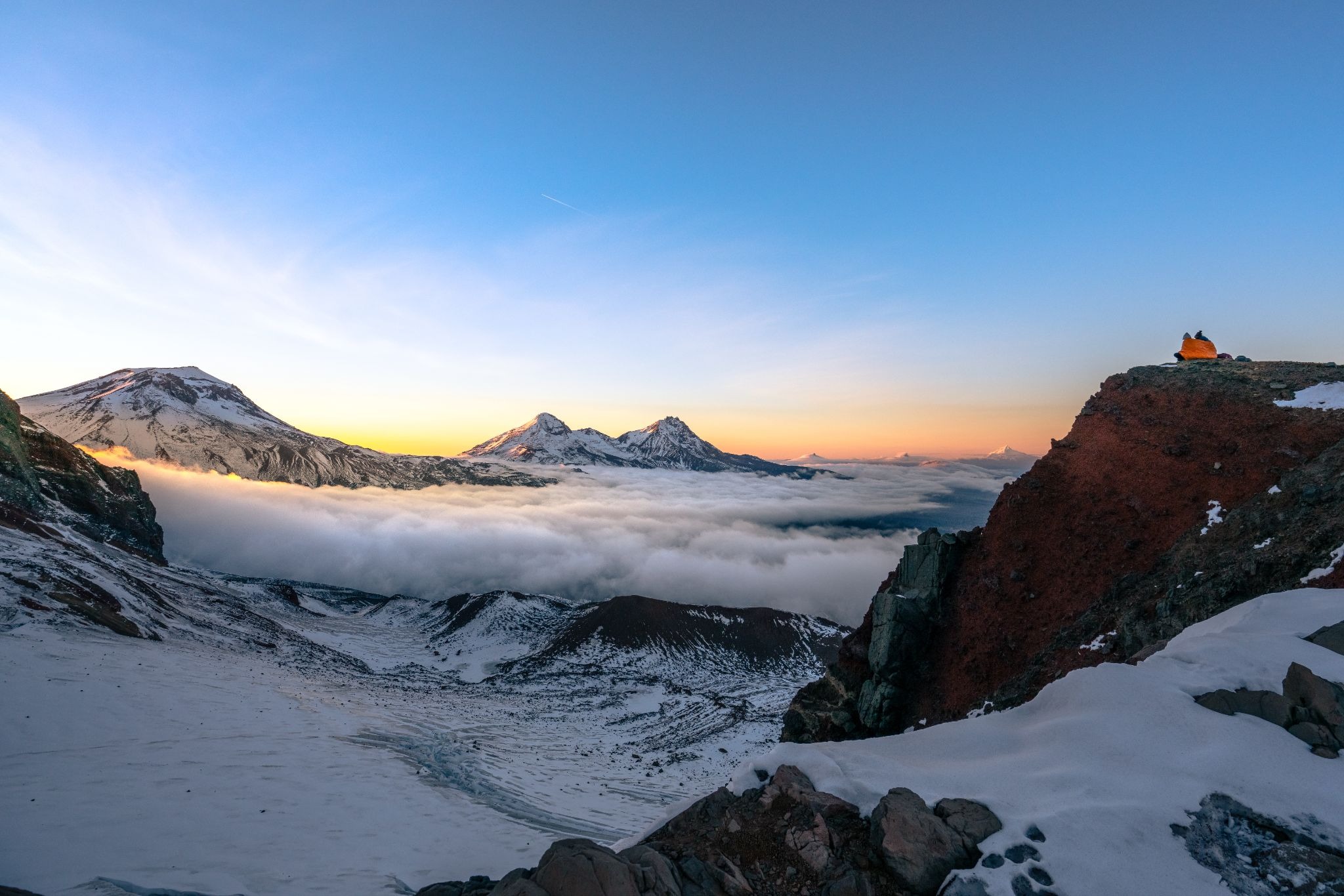
- Elevation ranges from 3,000 meters to the summit of Everest at 8,849 meters.
- This region covers 15% of Nepal's land area and holds only 6–7% of its population.
- Eight of the world's fourteen 8,000-meter peaks stand here, including Everest, Kanchenjunga and Annapurna.
- Sherpa, Tamang, Manangi and Dolpo-pa communities have adapted to life at extreme altitude.
If high mountains are what drew you to Nepal in the first place, start with our Everest Region Treks, Annapurna Region Treks, or Manaslu Region Treks.
Comparing Nepal's Three Regions
|
Region |
Elevation |
% of Land |
% of Population |
Key Areas |
| Terai | 60–300 m | 17% | ~50% | Chitwan, Bardiya, Jhapa |
|
Hilly (Pahad) |
300–3,000 m |
64–68% |
~43% |
Kathmandu, Pokhara |
|
Himalayan (Himal) |
3,000–8,849 m |
15% |
6–7% |
Solu-Khumbu, Mustang, Manang |
The geography of Nepal concentrates most of its population in the lowest two regions, while the mountains that draw trekkers from around the world stay sparsely populated.
Nepal's Eight-Thousanders and Major Mountain Ranges
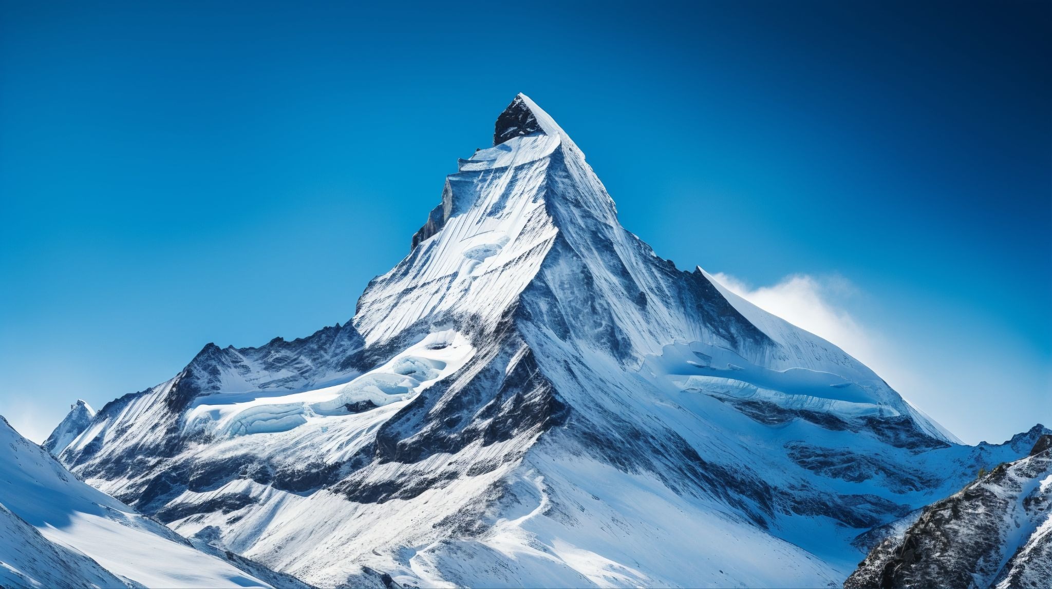
No discussion of the geography of Nepal is complete without its mountains, since this is what Nepal is most famous for.
- Mount Everest – 8,849 m, world's highest peak
- Kanchenjunga – 8,586 m, third highest in the world
- Lhotse – 8,516 m, fourth highest in the world
- Makalu – 8,463 m, fifth highest in the world
- Cho Oyu – 8,201 m
- Dhaulagiri I – 8,167 m
- Manaslu – 8,163 m
- Annapurna I – 8,091 m
Explore Peak Climbing in Nepal
Climate Zones of Nepal by Altitude
As the geography of Nepal spans such extreme elevations, the country experiences climate zones that shift dramatically over short distances.
|
Zone |
Altitude |
Character |
| Tropical/Subtropical | Below 1,000 m |
Hot, humid, and mild winters |
|
Temperate |
1,000–2,000 m |
Comfortable year-round, home to Kathmandu |
|
Subalpine |
2,000–3,000 m |
Cooler, coniferous forests |
|
Alpine |
3,000–5,000 m |
Cold, barren, and used for grazing |
| Arctic/Nival | Above 5,000 m | Permanent snow, no habitation |
For a full month-by-month breakdown of what to expect in each season, see our detailed Climate of Nepal guide.
Rivers and Water Systems of Nepal
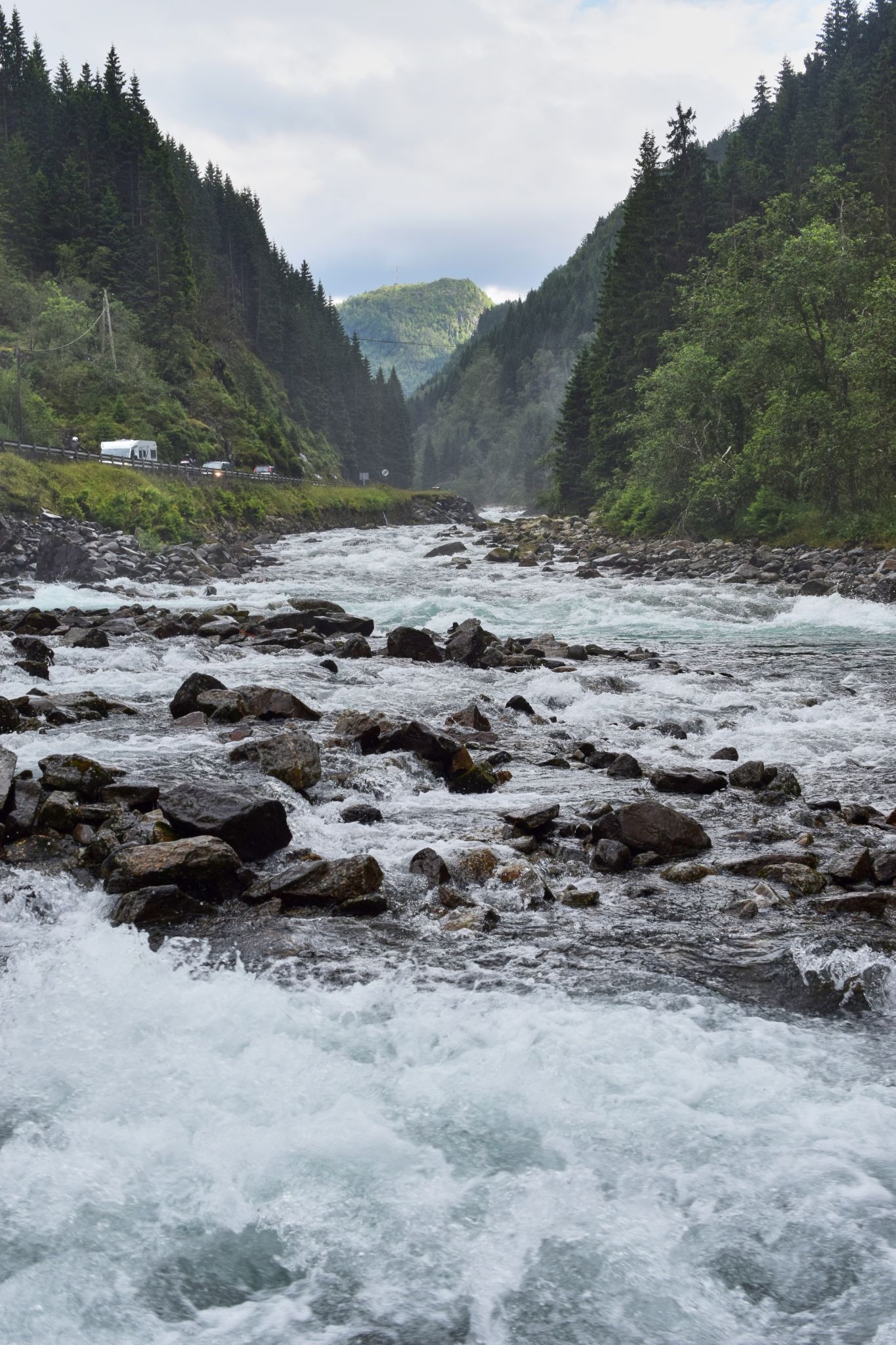
Rivers cut through nearly every part of Nepal, and they've shaped both the landscape and its history.
| River System | Region |
Notable Feature |
|
Koshi |
Eastern Nepal | Also called Sapta Koshi for its seven tributaries |
| Gandaki/Narayan | Central Nepal |
Carves the Kali Gandaki Gorge, the world's deepest valley |
|
Karnali |
Western Nepal |
Nepal's longest river system |
|
Mahakali |
Western border | Forms the boundary between Nepal and India |
Rara Lake, tucked in far-western Nepal, holds the title of the country's largest lake. If river adventure interests you as much as the mountains do, check out our Rafting in Nepal trips.
National Parks and Conservation Areas of Nepal
Nepal protects a remarkable share of its land, and this matters for anyone planning a trek or safari.
- Sagarmatha National Park protects the Everest region and covers 1,148 sq. km.
- Chitwan National Park safeguards the Terai's tigers and rhinos across 952 sq. km.
- Annapurna Conservation Area is Nepal's largest protected area at 7,629 sq. km.
- Manaslu Conservation Area covers 1,663 sq. km around the eighth-highest mountain on Earth.
- Bardiya National Park protects 968 sq. km of Terai wilderness.
- Langtang National Park spans 1,710 sq. km just north of Kathmandu.
Altogether, protected areas cover close to a quarter of Nepal's total land area.
Many of these parks overlap directly with our Remote Area Treks and Easy and Short Treks, so the trail you choose often runs straight through one of these reserves.
How Nepal's Geography Shaped Its History and Culture?
The geography of Nepal didn't just create dramatic scenery; it shaped the country's entire political and cultural story.
- The Himalaya acted as a natural barrier, making northern invasion difficult and helping Nepal avoid colonization.
- Nepal's mountainous terrain also slowed unification, keeping the country's many ethnic groups culturally distinct for centuries.
- The Kathmandu Valley became a major trading hub, sitting directly along trans-Himalayan routes linking India and Tibet.
- Nepal's position between two regional powers shaped agreements like the 1816 Sugauli Treaty, which still echoes in its foreign policy today.
Read more about how these forces played out over time in our History of Nepal guide, or explore the spiritual side of this story in Religion of Nepal.
Trek Nepal's Geography With Global Adventure Trekking
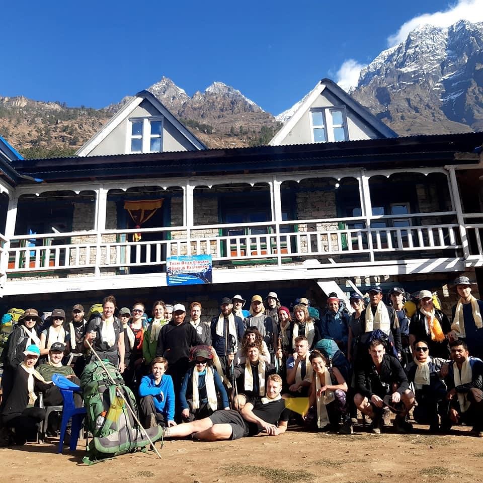
Understanding the geography of Nepal is useful, but experiencing it firsthand is better. At Global Adventure Trekking, we build itineraries around exactly the regions covered in this guide:
- Trek through the high Himalaya on our Everest Region Treks or Annapurna Region Treks.
- Explore lesser-visited valleys on our Manaslu Region Treks and Langtang Region Treks.
- Reach remote, rain-shadow landscapes with our Remote Area Treks.
- Experience the Terai's wildlife on a Jungle Safari in Nepal.
- Keep things simple with our Easy and Short Treks, ideal for first-time visitors.
Ready to Experience Nepal's Geography?
The geography of Nepal is what makes this small country feel far larger than its size on a map suggests. Three distinct regions, eight of the world's highest peaks, and rivers that carve some of the planet's deepest gorges all fit within a strip of land narrower than most people realize.
FAQs About the Geography of Nepal
What is the geography of Nepal?
The geography of Nepal covers 147,516 square kilometers between China and India, rising from 59 meters to 8,849 meters in elevation. It is divided into three regions: the Terai lowlands, the Hilly midlands, and the high Himalaya.
What are the three geographical regions of Nepal?
The three geographical regions of Nepal are the Terai, the Hilly (Pahad), and the Himalayan (Himal) regions. Each region is defined by altitude rather than by administrative or political boundaries.
How big is Nepal in square kilometers?
Nepal covers approximately 147,516 square kilometers, making it the world's 93rd largest country. It stretches about 880 km from east to west and 150–250 km from north to south.
What is the highest point in Nepal?
The highest point in Nepal is Mount Everest, standing at 8,849 meters above sea level. It sits on the border between Nepal and China's Tibet Autonomous Region.
What is the lowest point in Nepal?
The lowest point in Nepal is Mukhiyapatti Musharniya, at just 59 meters above sea level. This spot lies in the Terai lowlands near the Indian border.
How many 8,000-meter peaks does Nepal have?
Nepal is home to eight of the world's fourteen 8,000-meter peaks, including Everest, Kanchenjunga, and Annapurna I. That's a remarkable concentration for a country covering less than 0.1% of Earth's land surface.
Which countries border Nepal?
Nepal borders China to the north and India on its eastern, southern, and western sides. It has no direct border with Bangladesh, separated only by India's narrow Siliguri Corridor.
What climate zones does Nepal have?
Nepal has climate zones ranging from tropical in the Terai to arctic on its highest peaks. Altitude, more than season, determines which zone you'll experience at any given location.
How many national parks does Nepal have?
Nepal has 12 national parks along with several wildlife reserves and conservation areas. Together, these protected areas cover close to a quarter of the country's total land area.